Mount Tecumseh
This is a difficult rocky out and back trail that ascends Mount Tecumseh [4003] ft], offering beautiful views of the entire valley.
Distance: 4.9 Miles (round trip)
Elevation Gain: 2,283 feet
Time: 3-4 hours


The trail begins at the north end of the Waterville Valley Ski Area parking lot, and gradually ascends the southern side of Tecumseh Brook for about 15 minutes, then crosses the brook and climbs up the northern foothills with the ski area slopes on the left. Eventually, it descends a small ravine and crosses Tecumseh Brook again. Shortly after that, there's a short spur path on the left that takes you out to the ski slope for a view.
The next mile is straight up and rough and rocky and generally slow-going. The Sosman Trail diverges left not far from the summit. This short trail traverses the ridge past a great lookout that gives excellent views to the east, before continuing on to the cell tower at the summit of the High Country chair lift.
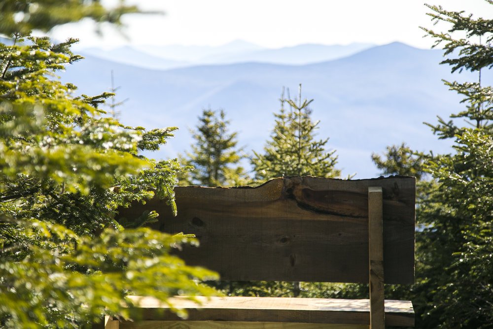
The Mount Tecumseh Trail, as it continues past the Sosman trail and approaches the summit cone, divides in two, with a southern route to the summit diverging left. Continuing straight, and the trail curls around the northern side to the summit. Once on top, the trail descends fairly steeply down the other side toward Tripoli Road, through thick walls of conifers, into a col. It then climbs again to the crest of the northern ridge, turns west along the ridge, and not long after that there's a spur path on the left with very nice views to the west.
From the top you can explore the summit areas of Mount Tecumseh and Waterville Valley ski area before heading back down the way you came. If you’re looking for extra adventure you can also continue on the Mount Tecumseh Trail down the west side of the mountain, ending at Tripoli Road.
Look below to see our photo gallery of the Mount Tecumseh Trail. If you snap any of your own photos be sure to tag @waterville_valley.