Greeley Ponds
This is a moderate out and back trail that follows the Mad River Notch and leads to Greeley Ponds, a natural alpine pond and the headwaters of the Mad River. Greeley Ponds is known by locals as one Waterville’s best fishing spots!
Distance: 7.4 miles (round trip)
Elevation Gain: 670 feet
Time: 4-5 hours


The hike to Greeley Ponds begins in the Livermore Road parking lot. Walk past the information stand and fee area and turn left down the gravel path. After a short walk you will reach a small meadow with an intersection. You will then continue straight through the meadow, over a bridge, and back into the woods. Almost immediately after crossing the bridge you will take a left onto the Greeley Ponds Trail.
It starts as an old logging road cobbled with small rocks, comes alongside the Mad River, and continues parallel with the river past the Goodrich Rock Trail on the left after about 30 minutes. Shortly after this you will continue ascending on a gentle grade. The Timber Camp Trail diverges from the Greeley Ponds trail on the left after you have ascended. The Greeley Ponds trail continues, and descends back down to the level of the Mad River, which it crosses on a bridge.
For the rest of the hike to the ponds, the trail stays close to the diminishing river as it ascends the Mad River Notch. There are 6 wooden planked footbridges over rills and run-offs adding to the river; and then the trail descends some log steps and crosses the river (difficult in high water,) at a point where a cross country ski trail continues straight ahead (blazed blue,) The hiking trail enters the Greeley Ponds Scenic Area on the other side of the river, and is wet in several places as it passes to the left of the lower pond.
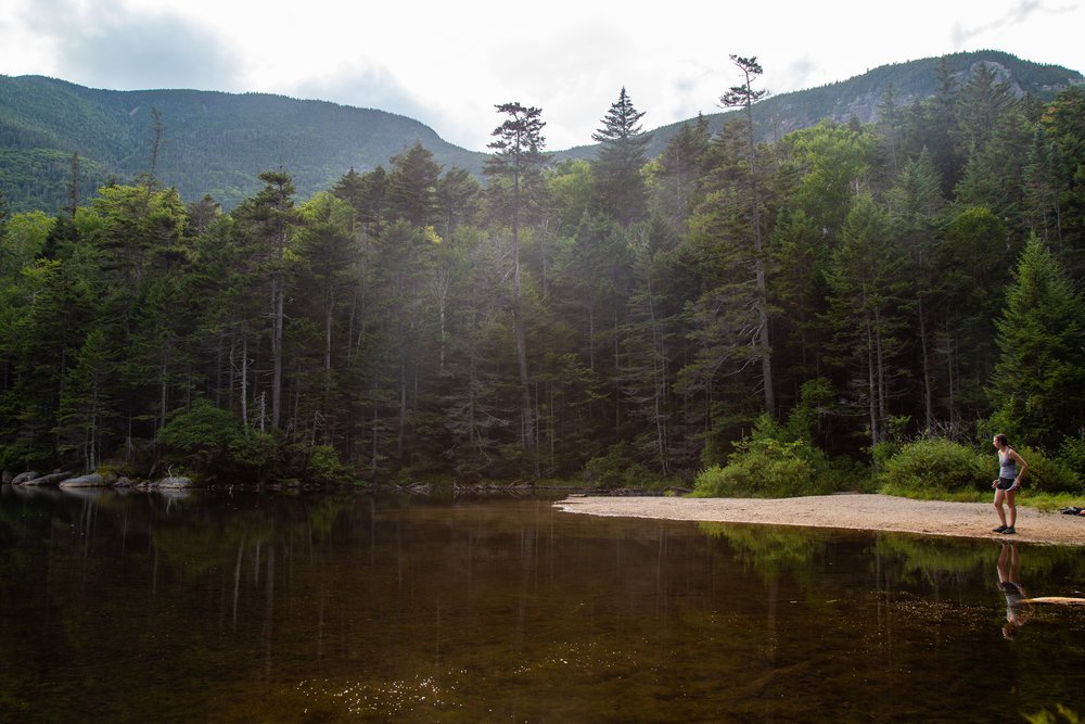
Stay left as the trail forks and begins to ascend gradually to the upper pond. At the north end of the upper pond a spur path on the right leads down to a small beach. After enjoying the ponds you can head back the way you came, or If you’re feeling adventurous you can follow the trail all the way down the other side to the Kancamagus Highway.
Look below to see our photo gallery of the Greeley Ponds Trail. If you snap any of your own photos be sure to tag @waterville_valley.