Goodrich Rock Trail
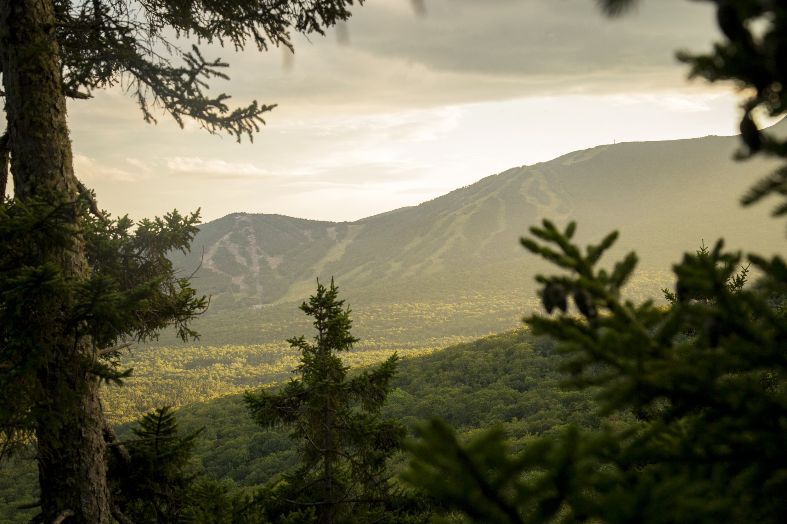
Goodrich Rock Trail winds through a conifer forest to a field of large glacial erratic boulders. The trail ends by climbing a 20-foot ladder to the top of the largest glacial erratics in New England - Goodrich Rock. From Goodrich rock you can take in sweeping views of the Sandwich Mountain Range and the ski trails of Mount Tecumseh!
Distance: 4 miles
Elevation Gain: 740 feet
Time: 1:45 to 2:45 hrs


The hike to Goodrich Rock begins in the Livermore Road parking lot. Walk past the information stand and fee area and turn left down the gravel path. After a short walk you will reach a small meadow with an intersection. You will then continue straight through the meadow, over a bridge, and back into the woods. Almost immediately after crossing the bridge you will take a left onto the Greeley Ponds Trail.
The straight path, lined with pine trees, gently slopes uphill until joining with the banks of the mad river. Shortly after this, you will see the Goodrich Rock Trail on your left. The narrow trail climbs somewhat steeply up to a set of stone and wooden steps. From there it levels off, crosses a small brook, and leads you to the Davis Boulders. The trail winds through broken-open chunks of granite and under a cave-like passageway.
After passing through the boulder field, you will re-enter a conifer forest. When Goodrich Rock comes into view, the trail will circle around the backside of the rock leading you to a wooden ladder. Climb up the ladder to the top of Goodrich Rock and enjoy the views of Waterville Valley Ski Resort, Tecumseh, the Sandwich Range and the valley below. As this is a frequently traveled destination, hikers are asked to be careful of the outcrop communities of lichen and balsam trees growing in this precipitous habitat.
Look below to see our photo gallery of the Goodrich Rock Hike. If you snap any of your own photos be sure to tag @waterville_valley.